
Satellite Images and Animation
Satellites: (All satellite data courtesy of NOAA)
GOES-East/West
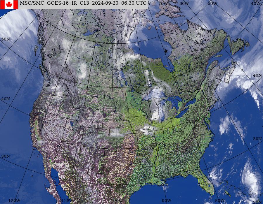
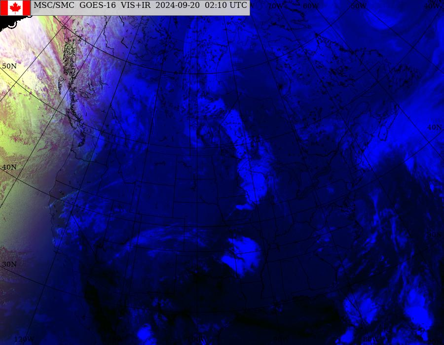
North American Composite *
GOES-East/West
North American Composite *
GOES-East
Eastern Canada *
Eastern North America *
Eastern USA *
North Atlantic
North and South America **
GOES-East
Eastern Canada *
Eastern North America *
Eastern USA *
North Atlantic
North and South America **
GOES-West
Western Canada *
Western North America *
North Pacific *
Pacific and North America **
GOES-West
Western Canada *
Western North America *
North Pacific *
Pacific and North America **
HRPT (NOAA polar orbiting)
Northern Canada and Arctic Ocean ***
Canadian Arctic Composite ***(disclaimer)
Baffin Island / Qikiqtaaluk ***
Yukon ***
Northern Nunavut ***
Northwest Territories / Kivalliq / Kitikmeot ***
Hudson Bay ***
British Columbia ***
Prairies ***
Ontario ***
Quebec and Labrador ***
Atlantic Canada ***
Additional Information
General
- *
- updated hourly
- **
- updated every three hours
- ***
- updated as available
- GOES
- Geostationary Operational Environmental Satellite
- NOAA
- National Oceanic and Atmospheric Administration
- HRPT
- High Resolution Picture Transmissions
Image Formats
Large:
1024x1024 Size:~200k
Animation:
1024x1024 Size:~200k
Features
New Predicting and Alerting Coastal Flooding Program

Find out about coastal flooding coverage, forecasts and warnings in your region
- Date modified: