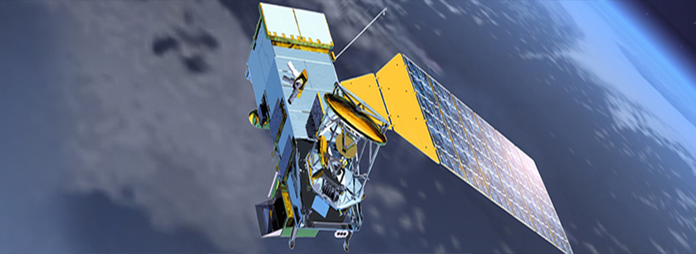
OSPO provides satellite imagery products that capture high-resolution views of Earth's surface, allowing users to observe land features, cloud cover, and atmospheric conditions. These images offer valuable insights into weather patterns, land cover changes, and environmental events. Satellite imagery is particularly important for meteorologists, climatologists, and researchers studying atmospheric processes and weather forecasting. These images support applications such as marine navigation, fisheries management, and coastal monitoring.
Official websites use .gov
A
.gov website belongs to an official government
organization in the United States.
Secure .gov websites use HTTPS
A
lock (
) or https:// means you’ve safely connected to
the .gov website. Share sensitive information only on official,
secure websites.