Rieder
Appearance
(Redirected from Harzer Grauwacke Rieder)
Rieder | |
|---|---|
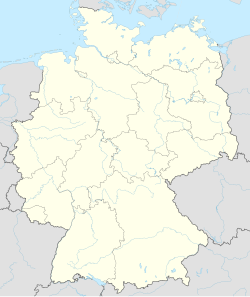
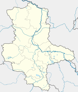
| Coordinates: 51°44′N 11°10′E / 51.733°N 11.167°E | |
| Country | Germany |
| State | Saxony-Anhalt |
| District | Harz |
| Town | Ballenstedt |
| Area | |
• Total | 21.41 km2 (8.27 sq mi) |
| Elevation | 231 m (758 ft) |
| Population (2012-12-31) | |
• Total | 1,788 |
| • Density | 84/km2 (220/sq mi) |
| Time zone | UTC+01:00 (CET) |
| • Summer (DST) | UTC+02:00 (CEST) |
| Postal codes | 06507 |
| Dialling codes | 039485 |
| Vehicle registration | HZ |
| Website | www |
Rieder is a village and a former municipality in the district of Harz, in Saxony-Anhalt, Germany. Since 1 December 2013, it is part of the town Ballenstedt. Between 1 January 2011 and 19 February 2013, it was part of the town Quedlinburg.[1][2]
There is a grauwacke quarry here which is also checkpoint 61 on the Harzer Wandernadel.[3]
References
[edit]- ^ Gesetz über die Neugliederung der Gemeinden im Land Sachsen-Anhalt den Landkreis Harz betreffend[permanent dead link] (GemNeuglG HZ, §3)
- ^ Ingo Kugenbuch (20 February 2013), "Drei Gemeinden sind nach Gerichtsurteil wieder selbstständig", Mitteldeutsche Zeitung (in German), Quedlinburg, retrieved 2013-07-09
- ^ Stempelstelle 61 / Harzer Grauwacke Rieder at www.harzer-wandernadel.de. Retrieved 1 Nov 2017.


