

Barkas:NY-265.svg

Ukuran pratayang PNG ini dari berkas SVG ini: 750 × 600 piksel Résolusi liya: 300 × 240 piksel | 600 × 480 piksel | 960 × 768 piksel | 1.280 × 1.024 piksel | 2.560 × 2.048 piksel.
Berkas asli (Barkas SVG, nominal 750 × 600 piksel, gedhéning barkas: 8 KB)
Ringkesan
| Panyandra |
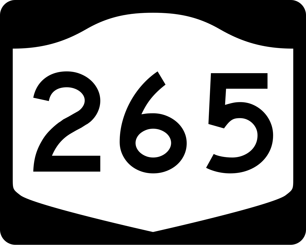
English: Diagram of a 750 mm by 600 mm (30 in by 24 in) route marker for New York State Route 265, made to the specifications of the Manual on Uniform Traffic Control Devices (MUTCD), 2009 Edition (sign M1-5; p. 143) and the 2010 New York state supplement to the MUTCD (signs NYM3-1, NYM3-2, and NYM3-3; pp. 73, 256). Uses the Roadgeek 2005 fonts. (United States law does not permit the copyrighting of typeface designs, and the fonts are meant to be copies of a U.S. Government-produced work anyway.) |
| Tanggal | |
| Sumber | Karya dhéwé |
| Juru pangarang | TwinsMetsFan |
| Idin (Nganggo manèh barkas iki) |
Public Domain |
Lisènsi
This file is in the public domain because it comes from the New York State Supplement to the Manual on Uniform Traffic Control Devices, sign number NYM3-2. The NYS Supplement states on page 11 that "effective September 13, 2007, the provisions of the MUTCD were formally adopted by the State of New York." The federal MUTCD states specifically on page I-1 that:
No provisions of the supplement supersede this provision of the MUTCD. |
 |
Sajarahing berkas
Klik ing tanggal/wektuné saprelu ndeleng rupané barkasé nalika tanggal iku.
| Tanggal/Wektu | Gambar cilik | Alang ujur | Naraguna | Tanggepan | |
|---|---|---|---|---|---|
| saiki | 30 Juni 2009 22.25 | | 750 × 600 (8 KB) | TwinsMetsFan | new version based on the NY MUTCD supplement |
| 9 Oktober 2006 01.06 |  | 750 × 600 (13 KB) | TwinsMetsFan | {{Information |Description=750 mm by 600 mm (30 in by 24 in) New York shield, made to the specifications of the Manual on Uniform Traffic Control Devices (MUTCD), 2003 Edition (sign M1-5). Uses the Roadgeek 2005 fonts. (United States law does not permit t |
Panggunaning berkas
Kaca ing ngisor iki nganggo barkas iki:
Panggunané barkas sajagat
Wiki liya ngisor iki nganggo barkas iki:
- Kanggo ing de.wikipedia.org
- Kanggo ing en.wikipedia.org
- Niagara County, New York
- Kenmore, New York
- Niagara, New York
- Wheatfield, New York
- Tonawanda, New York
- Tonawanda (town), New York
- Lewiston, New York
- List of state routes in New York
- Interstate 190 (New York)
- Interstate 290 (New York)
- New York State Route 104
- New York State Route 198
- New York State Route 429
- New York State Route 31
- New York State Route 324
- Niagara Scenic Parkway
- New York State Route 265
- New York State Route 384
- LaSalle Expressway
- New York State Route 266
- New York State Route 182
- User:Nyletak/New York Routes
- New York State Route 264
- List of highways numbered 265
- New York State Route 356
- U.S. Route 62 in New York
- List of highways in Niagara County, New York
- Kanggo ing es.wikipedia.org
- Kanggo ing fr.wikipedia.org
- Kanggo ing hi.wikipedia.org
- Kanggo ing ja.wikipedia.org
- Kanggo ing kn.wikipedia.org
- Kanggo ing zh-min-nan.wikipedia.org