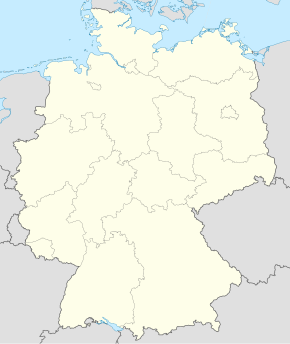
Bischofswerda
Qiyofa
Bischofswerda | |
|---|---|
| Shahar | |
|
| |
| 51°7′39″N 14°10′47″E / 51.12750°N 14.17972°E | |
| Mamlakat | Germaniya |
| Yer | Saksoniya |
| tuman | Bautzen (tuman) |
| Hukumat | |
| • Oberburgomistr | Andreas Erler |
| Maydon | 4,626 km2 (1,786 kv mi) |
| Markazi balandligi | 304 m |
| Aholisi (2010) |
12 130 |
| Vaqt mintaqasi | UTC+1, yozda UTC+2 |
| Telefon kodi | 03594 |
| Pochta indeks(lar)i | 01877 |
| Avtomobil kodi | BZ |
| Rasmiy kodi | 14 2 72 020 |
|
| |
Bischofswerda Germaniyaning Saksoniya yerida joylashgan shahardir. Ushbu shahar Bautzen tumani tarkibiga kiradi. Maydoni — 46,26 km2. Aholisi — 12 130 kishi (2010).
Geografiyasi
[tahrir | manbasini tahrirlash]Hududi
[tahrir | manbasini tahrirlash]Bischofswerdaning hududi 46,21[1] km2dir. Dengiz sathidan oʻrtacha 304 m balandlikda joylashgan.
Demografiyasi
[tahrir | manbasini tahrirlash]| Yil | Soni | |
|---|---|---|
| 2017 | 11 083 | |
| 2019 | 10 972 | |
| 2021 | 10 623 | |
| 2022 | 10 723 | |
Manbalar
[tahrir | manbasini tahrirlash]Havolalar
[tahrir | manbasini tahrirlash]| Vikiomborda Bischofswerda haqida turkum mavjud |
- www.bischofswerda.de Rasmiy sayti


