South Havra
Appearance
| South Havra | |
| South Havra Island | |
| Pulo | |
| Nasod | |
|---|---|
| Apil sa nasod | Scotland |
| Dapit sa konseho | Shetland Islands |
| Tiganos | 60°02′00″N 1°21′00″W / 60.03333°N 1.35°W |
| Timezone | UTC (UTC+0) |
| - summer (DST) | BST (UTC+1) |
| GeoNames | 2637408 |
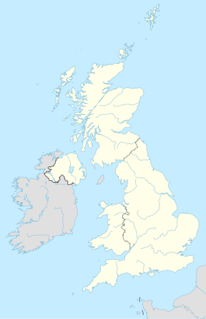
Pulo ang South Havra sa Hiniusang Gingharian.[1] Nahimutang ni sa dapit sa konseho sa Shetland Islands ug apil sa nasod sa Scotland, sa amihanang bahin sa nasod, 900 km sa amihanan sa London ang ulohan sa nasod.
Ang klima kasarangan. Ang kasarangang giiniton 4 °C. Ang kinainitan nga bulan Agosto, sa 10 °C, ug ang kinabugnawan Nobiyembre, sa 0 °C.[2]
Ang mga gi basihan niini
[usba | usba ang wikitext]- ↑ South Havra Island sa Geonames.org (cc-by); post updated 2012-01-17; database download sa 2016-05-06
- ↑ "NASA Earth Observations Data Set Index". NASA. Retrieved 30 Enero 2016.

