Coulongé
französische Gemeinde
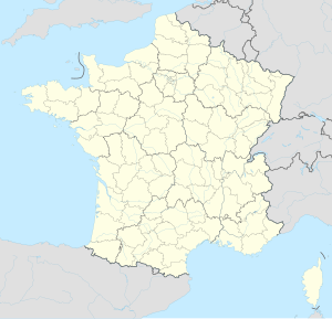
Coulongé ist eine französische Gemeinde mit 512 Einwohnern (Stand 1. Januar 2022) im Département Sarthe in der Region Pays de la Loire; sie gehört zum Arrondissement La Flèche und zum Kanton Le Lude. Nachbargemeinden von Coulongé sind: Le Lude, Aubigné-Racan, Sarcé, Pontvallain, Mansigné und Luché-Pringé.
| Coulongé | ||
|---|---|---|
| Staat | Frankreich | |
| Region | Pays de la Loire | |
| Département (Nr.) | Sarthe (72) | |
| Arrondissement | La Flèche | |
| Kanton | Le Lude | |
| Gemeindeverband | Sud Sarthe | |
| Koordinaten | 47° 41′ N, 0° 12′ O | |
| Höhe | 47–107 m | |
| Fläche | 15,05 km² | |
| Einwohner | 512 (1. Januar 2022) | |
| Bevölkerungsdichte | 34 Einw./km² | |
| Postleitzahl | 72800 | |
| INSEE-Code | 72098 | |
Bevölkerungsentwicklung
Bearbeiten| 1962 | 1968 | 1975 | 1982 | 1990 | 1999 | 2006 | 2011 | 2021 | |
|---|---|---|---|---|---|---|---|---|---|
| 607 | 562 | 532 | 466 | 497 | 541 | 577 | 565 | 510 | |
| Quellen: Cassini und INSEE | |||||||||
Sehenswürdigkeiten
Bearbeiten- Kirche St. Lubin (12. Jahrhundert)
- Kapelle St. Hubert
Weblinks
BearbeitenCommons: Coulongé – Sammlung von Bildern, Videos und Audiodateien
