Mount Gorton
Berg in der Antarktis
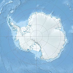
Der Mount Gorton ist ein markanter und 1995 m hoher Berg an der Oates-Küste des ostantarktischen Viktorialands. In den südlichen Wilson Hills ragt er 10 km westsüdwestlich des Mount Perez auf.
| Mount Gorton | ||
|---|---|---|
| Höhe | 1995 m | |
| Lage | Viktorialand, Ostantarktika | |
| Gebirge | Wilson Hills, Transantarktisches Gebirge | |
| Koordinaten | 70° 0′ 50″ S, 159° 14′ 38″ O | |
|
| ||
| Normalweg | Hochtour (vergletschert) | |
Erste Luftaufnahmen des Berges entstanden bei der US-amerikanischen Operation Highjump (1946–1947). Der australische Polarforscher Phillip Law sichtete den Berg im Zuge der Australian National Antarctic Research Expeditions und nahm eine Positionsbestimmung von Bord des Schiffs Magga Dan vor. Das Antarctic Names Committee of Australia (ANCA) benannte ihn am 4. Juli 1961 nach dem australischen Politiker John Gorton (1911–2002), damaliger Marineminister Australiens.
Weblinks
Bearbeiten- Mount Gorton. In: Geographic Names Information System. United States Geological Survey, United States Department of the Interior, archiviert vom (englisch).
- Mount Gorton auf geographic.org (englisch)
