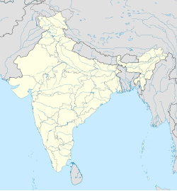
Racherla is a village in Prakasam district of the Indian state of Andhra Pradesh. It is the mandal headquarters of Racharla mandal in Markapur revenue division.[1]: 16 [3]
Racherla | |
|---|---|
 Dynamic map | |
| Coordinates: 15°28′00″N 78°58′00″E / 15.4667°N 78.9667°E | |
| Country | India |
| State | Andhra Pradesh |
| District | Prakasam |
| Area | |
• Total | 23.18 km2 (8.95 sq mi) |
| Population (2011)[2] | |
• Total | 6,518 |
| • Density | 280/km2 (730/sq mi) |
| Languages | |
| • Official | Telugu |
| Time zone | UTC+5:30 (IST) |
| PIN | 523368 |
| Telephone code | +91–8405 |
| Vehicle registration | AP 27 |
Geography
editRacherla is located at 15°28′00″N 78°58′00″E / 15.4667°N 78.9667°E.[4] It has an average elevation of 224 metres (738 feet).
References
edit- ^ a b "District Census Handbook – Prakasam" (PDF). Census of India. Directorate of Census Operations, Andhra Pradesh. p. 348. Retrieved 27 April 2019.
- ^ "Population statistics". Census of India. The Registrar General & Census Commissioner, India. Retrieved 27 April 2019.
- ^ "Part III, District and Sub-District (Mandals)" (PDF). Census of India. The Registrar General & Census Commissioner, India. pp. 150, 178. Retrieved 27 April 2019.
- ^ Falling Rain Genomics, Inc - Racherla

