Hanagita Peak
Appearance
| Hanagita Peak | |
|---|---|
| Highest point | |
| Elevation | 8,462 ft (2,579 m)[1] |
| Prominence | 6,004 ft (1,830 m)[2] |
| Isolation | 21.94 mi (35.31 km)[2] |
| Coordinates | 61°04′02″N 143°42′28″W / 61.067312°N 143.707875°W[3] |
| Geography | |
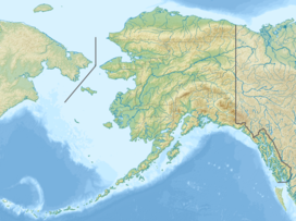
| Location | Wrangell-St. Elias National Park and Preserve of Alaska, United States |
| Parent range | Chugach Mountains |
| Climbing | |
| Easiest route | hike |
Hanagita Peak is a summit in the Chugach Mountains in the Wrangell-St. Elias National Park and Preserve of Alaska, United States.[1] The prominent is 6,004-foot (1,830 m) ranking it 67th on the list of prominent peaks in the United States.[2]
The peak was named in 1911 and is named after Chief Hanagita of Chitina.[1][4]
See also
[edit]References
[edit]- ^ a b c "Geographic Names Information System".
- ^ a b c "Hanagita Peak - Peakbagger.com". www.peakbagger.com.
- ^ "Geographic Names Information System". edits.nationalmap.gov.
- ^ "History".

