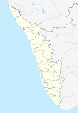
Ariyallur
Appearance
This article needs additional citations for verification. (December 2019) |
Ariyallur | |
|---|---|
Census town | |
| Coordinates: 11°29′51″N 75°43′12″E / 11.4974200°N 75.7199600°E | |
| Country | |
| State | Kerala |
| District | Malappuram |
| Population (2001) | |
• Total | 18,987 |
| Languages | |
| • Official | Malayalam, English |
| Time zone | UTC+5:30 (IST) |
| PIN | 676312 |
| Vehicle registration | KL-65 |
Ariyallur is a census town in Malappuram district in the state of Kerala, India.[1] It is situated in Vallikkunnu Gramapanchayath and newly formed Vallikkunnu Legislative Assembly constituency.[2]
Demographics
[edit]As of 2001[update] India census, Ariyallur had a population of 18987 with 9164 males and 9823 females.[1] Hindus form the majority.
Transportation
[edit]The nearest airport is at Karipur Airport. The nearest major railway station is at Vallikkunnu.
Places of interest
[edit]Vallikkunnu Railway Station is situated in Ariyallur. M V Higher Secondary School, G U P School, are important schools. Ariyallur is also famous for Agricultural Nurseries. It has a coast of about 4 Kilometers. Muthiyam Turtle Sanctuary is on this coast.
References
[edit]- ^ a b "Census of India : Villages with population 5000 & above". Registrar General & Census Commissioner, India. Archived from the original on 8 December 2008. Retrieved 10 December 2008.
- ^ "അരിയല്ലൂർ പരപ്പാൽ ബീച്ചിൽ കടലാക്രമണം". ManoramaOnline (in Malayalam).

