Aupaluktok Island
Appearance
| Geography | |
|---|---|
| Location | Cumberland Sound |
| Coordinates | 66°09′00″N 066°16′48″W / 66.15000°N 66.28000°W |
| Archipelago | Arctic Archipelago |
| Administration | |
Canada | |
| Territory | Nunavut |
| Region | Qikiqtaaluk |
| Demographics | |
| Population | Uninhabited |
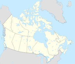
Aupaluktok Island is an uninhabited island in the Qikiqtaaluk Region of Nunavut, Canada. It is one of the two main Sanigut Islands, stretching between Avataktoo Bay to the north and the Cumberland Sound to the south, off Baffin Island's Cumberland Peninsula. Akulagok Island, Anarnittuq Island, Beacon Island, Imigen Island, Ivisa Island, Kekertelung Island, Saunik Island, Tesseralik Island, Tuapait Island, and Ugpitimik Island are in the vicinity.[1]
References
[edit]- ^ "Aupaluktok Island". travelingluck.com. Retrieved 2009-06-22.
External links
[edit]- Aupaluktok Island in the Atlas of Canada - Toporama; Natural Resources Canada

