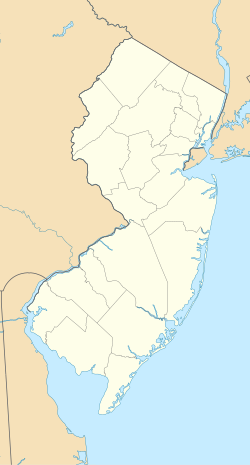
Botany Worsted Mills Historic District
Appearance
Botany Worsted Mills Historic District | |
 The mill complex viewed from the south in December, 1997. | |
| Location | 80-82 and 90 Dayton Avenue and 6-32 Mattimore Street, Passaic, New Jersey |
|---|---|
| Coordinates | 40°52′25″N 74°7′10″W / 40.87361°N 74.11944°W |
| Area | 26.4 acres (10.7 ha) |
| Built | 1889 |
| Architectural style | Industrial |
| NRHP reference No. | 91000928[1] |
| NJRHP No. | 2350[2] |
| Significant dates | |
| Added to NRHP | July 26, 1991 |
| Designated NJRHP | June 17, 1991 |
Botany Worsted Mills Historic District is located in Passaic, Passaic County, New Jersey. The district was added to the National Register of Historic Places on July 26, 1991.
References
[edit]- ^ "National Register Information System". National Register of Historic Places. National Park Service. March 13, 2009.
- ^ "New Jersey and National Registers of Historic Places - Passaic County" (PDF). New Jersey Department of Environmental Protection - Historic Preservation Office. July 7, 2009. p. 19. Archived from the original (PDF) on August 19, 2011. Retrieved March 27, 2010.
Wikimedia Commons has media related to Botany Worsted Mills.
Categories:
- Buildings and structures in Passaic, New Jersey
- Industrial buildings and structures on the National Register of Historic Places in New Jersey
- National Register of Historic Places in Passaic County, New Jersey
- Historic districts on the National Register of Historic Places in New Jersey
- New Jersey Register of Historic Places
- Textile mills in the United States
- New Jersey Registered Historic Place stubs


