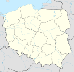
Brzozowiec, Podkarpackie Voivodeship
Appearance
(Redirected from Brzozowiec, Subcarpathian Voivodeship)
Brzozowiec | |
|---|---|
Village | |
| Coordinates: 49°25′55″N 22°12′9″E / 49.43194°N 22.20250°E | |
| Country | |
| Voivodeship | Subcarpathian |
| County | Sanok |
| Gmina | Zagórz |
| Highest elevation | 525 m (1,722 ft) |
| Lowest elevation | 460 m (1,510 ft) |
| Population | 40 |
| Website | http://www.brzozowiec.czaszyn.pl |
Brzozowiec [bʐɔˈzɔvʲɛt͡s] is a village in the administrative district of Gmina Zagórz, within Sanok County, Subcarpathian Voivodeship, in south-eastern Poland.[1] It lies approximately 11 kilometres (7 mi) south-west of Zagórz, 14 km (9 mi) south of Sanok, and 69 km (43 mi) south of the regional capital Rzeszów.
References
[edit]

