Chukovezer Island
Appearance
| Geography | |
|---|---|
| Location | Antarctica |
| Coordinates | 64°39′06″S 64°14′42″W / 64.65167°S 64.24500°W |
| Archipelago | Palmer Archipelago |
| Administration | |
| Administered under the Antarctic Treaty System | |
| Demographics | |
| Population | 0 |
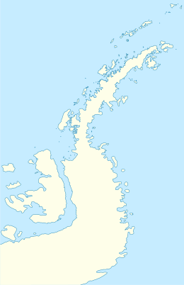
Chukovezer Island (Bulgarian: остров Чуковезер, romanized: ostrov Chukovezer, IPA: [ˈɔstrof t͡ʃokoˈvɛzɛr]) is the rocky island lying 700 m (2,300 ft) off the northwest coast of Anvers Island in the Palmer Archipelago, Antarctica. The feature is 1.22 km (0.76 mi) long in southeast-northwest direction and 460 m (1,510 ft) wide.
The island is named after the settlement of Chukovezer in Western Bulgaria.
Location
[edit]Chukovezer Island is located at 64°39′06″S 64°14′42″W / 64.65167°S 64.24500°W, 7.22 km (4.49 mi) north by east of Cape Monaco and 6.8 km (4.2 mi) south of Gerlache Point. British mapping in 1974.
Maps
[edit]- Anvers Island and Brabant Island. Scale 1:250000 topographic map. BAS 250 Series, Sheet SQ 19-20/3&4. London, 1974.
- Antarctic Digital Database (ADD). Scale 1:250000 topographic map of Antarctica. Scientific Committee on Antarctic Research (SCAR). Since 1993, regularly upgraded and updated.
References
[edit]- Bulgarian Antarctic Gazetteer. Antarctic Place-names Commission. (details in Bulgarian, basic data in English)
- Chukovezer Island. SCAR Composite Antarctic Gazetteer.
External links
[edit]- Chukovezer Island. Copernix satellite image
This article includes information from the Antarctic Place-names Commission of Bulgaria which is used with permission.
