Cristóbal de la Sierra
Appearance
Cristóbal de la Sierra | |
|---|---|
municipality | |
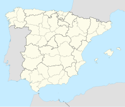
 Location in Salamanca | |
| Coordinates: 40°27′55″N 5°54′38″W / 40.46528°N 5.91056°W | |
| Country | Spain |
| Autonomous community | Castile and León |
| Province | Salamanca |
| Comarca | Sierra de Béjar |
| Government | |
| • Mayor | Antonio Luengo (Spanish Socialist Workers' Party) |
| Area | |
• Total | 22 km2 (8 sq mi) |
| Elevation | 868 m (2,848 ft) |
| Population (2018)[2] | |
• Total | 155 |
| • Density | 7.0/km2 (18/sq mi) |
| Time zone | UTC+1 (CET) |
| • Summer (DST) | UTC+2 (CEST) |
| Postal code | 37684 |
| Website | www |
Cristóbal de la Sierra is a village and large municipality in the province of Salamanca, western Spain, part of the autonomous community of Castile-Leon.
References
[edit]- ^ a b "Municipio:Cristóbal de la Sierra". www.lasalina.es (in Spanish). Retrieved 2017-11-01.
- ^ Municipal Register of Spain 2018. National Statistics Institute.


