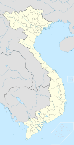
Ea Huar
Appearance
Ea Huar | |
|---|---|
Rural commune and village | |
| Coordinates: 12°53′0″N 107°51′50″E / 12.88333°N 107.86389°E | |
| Country | |
| Region | Central Highlands |
| Province | Đắk Lắk |
| District | Buôn Đôn |
| Area | |
• Total | 45.91 km2 (17.73 sq mi) |
| Population (1999) | |
• Total | 2,255 |
| Time zone | UTC+07:00 (Indochina Time) |
Ea Huar is a rural commune (xã[1]) and village in the Buôn Đôn District of Đắk Lắk Province, Vietnam, not far from the Cambodia border. The commune covers an area of 45.91 square kilometres, and in 1999, had a population of 2,255 people.
References
[edit]- ^ Vietnam. Tổng cục thống kê (2004). Danh mục các đơn vị hành chính Việt Nam, 2004: ban hành theo QĐ số 124/2004/QĐ-TTg ngày 8/7/2004 của Thủ tướng Chính phủ. Nhà xuất bản Thống kê. p. 189. Retrieved 20 July 2012.

