Ed Jenkins National Recreation Area
Appearance
| Ed Jenkins National Recreation Area | |
|---|---|
 View from Springer Mountain | |
| Location | Fannin and Union counties, Georgia, United States |
| Nearest city | Morganton, Georgia |
| Coordinates | 34°38′00″N 84°12′00″W / 34.63333°N 84.2°W |
| Area | 23,330 acres (94.4 km2) |
| Established | 1991 |
| Governing body | United States Forest Service |
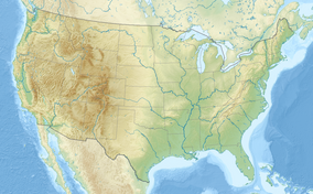
Ed Jenkins National Recreation Area, originally designated as Springer Mountain National Recreation Area, is a national recreation area in Fannin and Union counties in the U.S. state of Georgia. It was established in Chattahoochee-Oconee National Forest in 1991 by Pub. L. 102–207 and renamed the following year by Pub. L. 102–456. It is administered by the U.S. Forest Service and contains approximately 23,330 acres (9,440 ha). Springer Mountain, near the center of the recreation area, is the southern terminus of the Appalachian Trail.[1][2]
References
[edit]- ^ "Subchaper CXVIII - Ed Jenkins National Recreation Area and Coosa Bald National Scenic Area". U.S. House of Representatives. Retrieved 30 April 2012.[permanent dead link]
- ^ "Map of the Blue Ridge District, Chattahoochee National Forest" (PDF). U.S. Forest Service. Retrieved 30 April 2012.

