El Toro, Castellón
Appearance
El Toro | |
|---|---|
 El Toro's Town Hall. | |
| Coordinates: 39°59′N 0°45′W / 39.983°N 0.750°W | |
| Country | |
| Community | |
| Province | |
| Comarca | Alto Palancia |
| Government | |
| • Mayor | José Arenes Vicente |
| Area | |
• Total | 110.04 km2 (42.49 sq mi) |
| Population (2023)[4] | |
• Total | 248 |
| • Density | 2.3/km2 (5.8/sq mi) |
| Demonym | Torano/a |
| Time zone | UTC+1 (CET) |
| • Summer (DST) | UTC+2 (CEST) |
| Website | www |
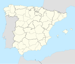
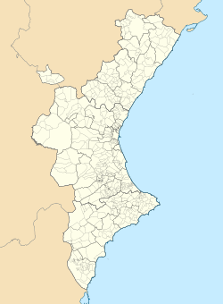
El Toro is a municipality in the comarca of Alto Palancia, Castellón, Valencia, Spain.
The Sierra del Toro mountain range is named after this town.
References
[edit]- ^ "José Arenes se hace cargo provisionalmente de la alcaldía de El Toro". El Periódico de Aquí Castellón (in Spanish). 4 February 2023. Retrieved 6 July 2024.
- ^ "Corporación Municipal". www.eltoro.es. Retrieved 6 July 2024.
- ^ "Entidades Locales". ssweb.seap.minhap.es. Retrieved 6 July 2024.
- ^ "Instituto Nacional de Estadística. (Spanish Statistical Institute)". www.ine.es. Retrieved 6 July 2024.


