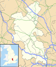
Elm Farm, Aylesbury
| Elm Farm | |
|---|---|
Location within Buckinghamshire | |
| OS grid reference | SP8212 |
| Civil parish |
|
| Unitary authority | |
| Ceremonial county | |
| Region | |
| Country | England |
| Sovereign state | United Kingdom |
| Post town | AYLESBURY |
| Postcode district | HP21 |
| Dialling code | 01296 |
| Police | Thames Valley |
| Fire | Buckinghamshire |
| Ambulance | South Central |
| UK Parliament | |
Elm Farm is a modern housing estate Built in the 1970s in Aylesbury, Buckinghamshire, England and one of the last new estates to be built within the parish boundary of Aylesbury.
It has its own football team called Elm Farm FC[1] and in the political geography of the town it now forms a ward with Mandeville.[2][3]
Education
[edit]William Harding Combined School is a mixed primary school in Elm Farm.
It is a community school, which takes children from the age of 4 through to the age of 11. The school has approximately 700 pupils.[4][5][6]
The school is named after William Harding of Walton.
Transport
[edit]Bus route 7 provides links to Aylesbury Bus station,Broughton and Bedgrove. This service is operated by Red Rose[citation needed]
White Route 50 provides links to Aylesbury bus station,stoke Mandeville and Wendover this service is operated by red Rose travel[citation needed]
References
[edit]- ^ Webteams.co.uk
- ^ UK Local Area
- ^ Councillor information provided by AVDC
- ^ Ofsted Report Archived 2007-12-04 at the Wayback Machine
- ^ DfES Performance Tables Archived 2007-03-10 at the Wayback Machine
- ^ Buckinghamshire County Council - Schools Zone Archived 2007-09-30 at the Wayback Machine
7 Buscountycouncil.weebly.com

