Flint, Texas
Appearance
Flint | |
|---|---|
| Coordinates: 32°12′15″N 95°20′55″W / 32.20417°N 95.34861°W | |
| Country | United States |
| State | Texas |
| County | Smith |
| Elevation | 522 ft (159 m) |
| Time zone | UTC-6 (Central (CST)) |
| • Summer (DST) | UTC-5 (CDT) |
| ZIP codes | 75762 |
| GNIS feature ID | 1335957 |
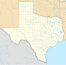
Flint is an unincorporated community in southeastern Smith County, Texas, United States. It lies along FM 2493, south of the city of Tyler, the county seat of Smith County.[1] Its elevation is 522 feet (159 m).[2] Although Flint is unincorporated, it has a post office, with the ZIP code of 75762.[3]
History
[edit]The town was named for Robert P. Flynt, a local landowner but the post office began operations in 1887 under the spelling "Flint" when postmaster Charles B. Brown misspelled the name on application forms.
Climate
[edit]Flint is considered to be part of the humid subtropical region.
Notable person
[edit]- William Clark Green, Country singer and guitarist
References
[edit]- ^ Rand McNally. The Road Atlas '08. Chicago: Rand McNally, 2008, p. 100.
- ^ U.S. Geological Survey Geographic Names Information System: Flint, Texas
- ^ Zip Code Lookup


