Holmside Hall Wind Farm
Appearance
| Holmside Hall Wind Farm | |
|---|---|
 The two turbines of Holmside Hall | |
 | |
| Country | England, United Kingdom |
| Location | Stanley, County Durham |
| Coordinates | 54°50′50″N 1°41′13″W / 54.8472°N 1.68694°W |
| Status | Operational |
| Commission date | May 2004 |
| Owner | E.ON UK |
| Site elevation | 722 ft |
| Power generation | |
| Units operational | 2 × 2.75 MW |
| Make and model | NEG Micon |
| Nameplate capacity | 5.5 MW |
| External links | |
| Commons | Related media on Commons |
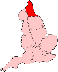
Holmside Hall Wind Farm is a wind farm near Stanley, County Durham, England. Owned and operated by E.ON UK, the farm has a nameplate capacity of 5.5MW, containing two NM80 turbines each rated at 2.75 MW.[1]
At the time of construction, which was delayed due to high winds, the turbines were the largest and most powerful in the UK.[2]
References
[edit]- ^ "UKWED Operational wind farms". RenewableUK. Archived from the original on 25 February 2006. Retrieved 2 August 2010.
- ^ "Ironically, wind conditions delay turbines". The Northern Echo. Newsquest Media Group. 13 November 2003. Retrieved 11 November 2009.
