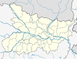
Jamunia village
Appearance
Jamunia | |
|---|---|
Village | |
| Coordinates: 27°06′29″N 84°27′50″E / 27.108°N 84.464°E | |
| Country | |
| State | Bihar |
| District | West Champaran district |
| Government | |
| • Type | Panchayati raj (India) |
| • Body | Gram panchayat |
| Languages | |
| • Official | Hindi |
| Time zone | UTC+5:30 (IST) |
| ISO 3166 code | IN-BR |
Jamunia is a village in West Champaran district in the Indian state of Bihar.
Demographics
[edit]As of 2011 India census, Jamunia had a population of 2042 in 374 households. Males constitute 52.69% of the population and females 47.3%. Jamunia has an average literacy rate of 43.29%, lower than the national average of 74%: male literacy is 62.3%, and female literacy is 37.6%. In Jamunia, 21% of the population is under 6 years of age.[1]
References
[edit]- ^ "Census of India 2011". Retrieved 12 March 2014.
