Kamianka, Pokrovsk Raion, Donetsk Oblast
Appearance
Kamianka
Кам'янка | |
|---|---|
| Coordinates: 48°10′22″N 37°46′57″E / 48.172778°N 37.7825°E | |
| Country | |
| Oblast | |
| Raion | |
| Elevation | 176 m (577 ft) |
| Population | |
• Total | 228 |
| Time zone | UTC+2 (EET) |
| • Summer (DST) | UTC+3 (EEST) |
| Postal code | 86198 |
| Area code | +380 6236 |
 | |
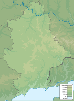
Kamianka (Ukrainian: Кам'янка; Russian: Каменка) is a rural settlement in Pokrovsk Raion (district) in Donetsk Oblast of eastern Ukraine, at 20.6 kilometres (12.8 mi) north-northwest from the centre of Donetsk city.
The War in Donbas, which started in mid-April 2014, has brought along both civilian and military casualties to the village.[2]
2022 Invasion of Ukraine
[edit]The town became a site of renewed fighting during the 2022 Russian invasion of Ukraine due to its proximity to Avdiivka.
Demographics
[edit]Native language as of the Ukrainian Census of 2001:[1]
- Ukrainian — 36.4%
- Russian — 63.6%
References
[edit]- ^ a b "Офіційна сторінка Всеукраїнського перепису населення | Банк даних" [All-Ukrainian population census | Database]. ukrcensus.gov.ua (in Ukrainian). Retrieved 15 October 2022.
- ^ "Maksym Kernychnyi, warrant officer of 72nd Brigade, killed in skirmish at Kamianka. PHOTOS". Censor.NET. 5 July 2017. Retrieved 5 July 2017.
External links
[edit]

