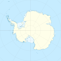
Karm Island (Antarctica)
Appearance
| Geography | |
|---|---|
| Location | Antarctica |
| Coordinates | 66°59′S 57°27′E / 66.983°S 57.450°E |
| Length | 3 km (1.9 mi) |
| Administration | |
| Administered under the Antarctic Treaty System | |
| Demographics | |
| Population | Uninhabited |
Karm Island is an island off the coast of Antarctica. It is 3 kilometres (1.5 nmi) long, located 2 kilometres (1 nmi) south-east of Shaula Island. Mapped by Norwegian cartographers from aerial photos taken by the Lars Christensen Expedition, 1936–37, and called Karm (coaming). The group was first visited by an ANARE (Australian National Antarctic Research Expeditions) party in 1954.
References
[edit]See also
[edit]![]() This article incorporates public domain material from "Karm Island (Antarctica)". Geographic Names Information System. United States Geological Survey.
This article incorporates public domain material from "Karm Island (Antarctica)". Geographic Names Information System. United States Geological Survey.
