

Khirbat Al-Taqa
Khirbat Al-Taqa
خربة الطاقة | |
|---|---|
 1870s map 1870s map  1940s map 1940s map modern map modern map  1940s with modern overlay map 1940s with modern overlay mapA series of historical maps of the area around Khirbat Al-Taqa (click the buttons) | |
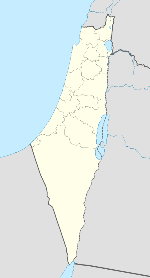
 Khirbat Al-Taqa Location within Mandatory Palestine | |
| Coordinates: 32°36′42″N 35°32′14″E / 32.61167°N 35.53722°E | |
| Palestine grid | 200/224 |
| Geopolitical entity | Mandatory Palestine |
| Subdistrict | Baysan |
| Date of depopulation | May 15, 1948 |
Khirbat Al-Taqa (Arabic: خربة الطاقة), was a Palestinian Arab village in the District of Baysan. It was depopulated by the Israel Defense Forces during the 1948 Arab-Israeli War on May 15, 1948, under Operation Gideon. It was located 14 km north of Baysan nearby Wadi al-Bira which powered several mills in the village.
History
[edit]It was classified as a hamlet in the Palestine Index Gazetteer.[1]
Following the war the area was incorporated into the State of Israel and the land was left undeveloped.[1]
References
[edit]Bibliography
[edit]- Khalidi, W. (1992). All That Remains: The Palestinian Villages Occupied and Depopulated by Israel in 1948. Washington D.C.: Institute for Palestine Studies. ISBN 0-88728-224-5.
- Morris, B. (2004). The Birth of the Palestinian Refugee Problem Revisited. Cambridge University Press. ISBN 978-0-521-00967-6.
External links
[edit]- Welcome To al-Taqa, Khirbat
- Khirbat al-Taqa, Zochrot
- Survey of Western Palestine, map 9: IAA, Wikimedia commons