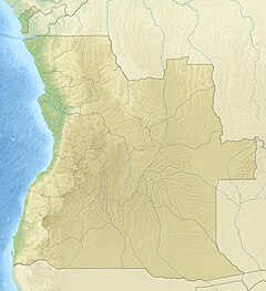
Lucala River
Appearance
This article relies largely or entirely on a single source. (February 2018) |
| Lucala River | |
|---|---|
 The Lucala River leaving the valley created by the Kalandula Falls | |
| Physical characteristics | |
| Source | |
| • location | Uíge Province |
| Mouth | Cuanza River |
• location | Cuanza Norte Province |
• coordinates | 9°37′41.46″S 14°14′11.73″E / 9.6281833°S 14.2365917°E |
| Basin features | |
| Waterfalls | Kalandula Falls |
The Lucala River is a river in Angola, a right tributary of Angola's largest river, the Cuanza River.[1]
The Lucala has its source in Uíge Province, runs through Malanje Province, where it feeds the Kalandula Falls, and finally empties into the Cuanza River near Massangano in Cuanza Norte Province, some kilometers downstream of Dondo.
