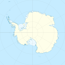
Manning Island
Appearance
This article needs additional citations for verification. (February 2022) |
| Geography | |
|---|---|
| Location | Antarctica |
| Coordinates | 69°21′18″S 76°20′0″E / 69.35500°S 76.33333°E |
| Administration | |
| Administered under the Antarctic Treaty System | |
| Demographics | |
| Population | Uninhabited |
Manning Island is an island in the vicinity of Antarctica. It was named after surveyor John Manning, in honour of his work in Antarctica.[1] The Lars Christensen expedition of 1936-1937 photographed it from the air, calling it Viksy (Bay Island).
See also
[edit]- SCAR Composite Gazetteer of Antarctica
- List of Antarctic islands south of 60° S
- SCAR
- Territorial claims in Antarctica
References
[edit]External links
[edit]
