Manoury Island
Appearance
| Geography | |
|---|---|
| Location | Antarctica |
| Coordinates | 64°27′S 62°50′W / 64.450°S 62.833°W |
| Administration | |
| Administered under the Antarctic Treaty System | |
| Demographics | |
| Population | Uninhabited |
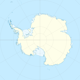
Manoury Island is an island lying 3 kilometres (1.5 nmi) south of Gand Island at the north end of Schollaert Channel, in the Palmer Archipelago, Antarctica. It was discovered by the French Antarctic Expedition, 1903–05, and named by Jean-Baptiste Charcot for G. Manoury, secretary of the expedition.[1]
See also
[edit]References
[edit]- ^ "Manoury Island". Geographic Names Information System. United States Geological Survey, United States Department of the Interior. Retrieved 4 August 2013.
![]() This article incorporates public domain material from "Manoury Island". Geographic Names Information System. United States Geological Survey.
This article incorporates public domain material from "Manoury Island". Geographic Names Information System. United States Geological Survey.
