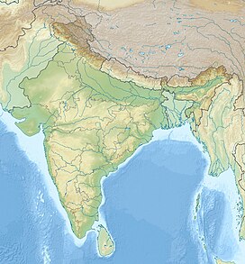
Nanda Gond
Appearance
| Nanda Gond | |
|---|---|
| Highest point | |
| Elevation | 6,315 m (20,719 ft) |
| Coordinates | 30°33′31″N 80°07′37″E / 30.55855°N 80.12699°E |
| Geography | |
| Location | Pithoragarh, Uttarakhand, India |
| Parent range | Kumaon Himalaya |
Nanda Gond is the Himalayan mountain peak situated in the Pithoragarh district of Uttarakhand state of India. It is located in the Milam valley on the east of Milam Glacier. The altitude of the summit is 6,315 m (20,719 ft). Ikualari (6,059 m), Nanda Pal (6,306 m), Nital Thaur (6,236 m), are its neighbouring peaks. The Unta Dhura Pass is located north to it (30°34′41″N 80°10′31″E / 30.57804°N 80.17520°E).
