Nichols, California
Appearance
Nichols | |
|---|---|
 A freight train in Nichols in 1980 | |
| Coordinates: 38°02′29″N 121°59′17″W / 38.04139°N 121.98806°W[1] | |
| Country | United States |
| State | California |
| County | Contra Costa County |
| Elevation | 62 ft (19 m) |
| GNIS ID[1][2] | 1659765 |
| FIPS code[1][2] | 06-51322 |
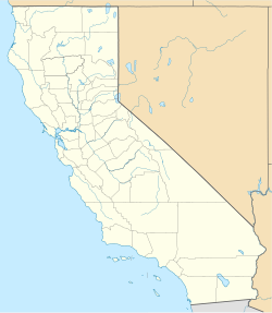
Nichols is an unincorporated community in Contra Costa County, California, United States.[1] It is on the Atchison, Topeka and Santa Fe Railroad 5.5 miles (9 km) west of Pittsburg,[3] at an elevation of 62 feet (19 m).[1] The place is named for William H. Nichols, president of the General Chemical Company of New York, which built in 1909 a plant here to produce fertilizer and a number of other chemicals for industrial use.[3] In 1921, General Chemical became a division of Nichols's Allied Chemical, later Allied Corporation.
References
[edit]- ^ a b c d e f "Nichols (Contra Costa County, California)". Geographic Names Information System. United States Geological Survey. Retrieved May 11, 2014.
- ^ a b "FIPS55 Data: California". FIPS55 Data. United States Geological Survey. February 23, 2006. Archived from the original on June 18, 2006. Retrieved May 11, 2014.
- ^ a b Durham, David L. (1998). California's Geographic Names: A Gazetteer of Historic and Modern Names of the State. Clovis, Calif.: Word Dancer Press. p. 672. ISBN 1-884995-14-4.

