Oberotterbach
Oberotterbach | |
|---|---|
| Coordinates: 49°04′16″N 7°58′14″E / 49.07111°N 7.97056°E | |
| Country | Germany |
| State | Rhineland-Palatinate |
| District | Südliche Weinstraße |
| Municipal assoc. | Bad Bergzabern |
| Government | |
| • Mayor (2019–24) | Heinz Oerther[1] |
| Area | |
| • Total | 15.37 km2 (5.93 sq mi) |
| Elevation | 192 m (630 ft) |
| Population (2022-12-31)[2] | |
| • Total | 1,132 |
| • Density | 74/km2 (190/sq mi) |
| Time zone | UTC+01:00 (CET) |
| • Summer (DST) | UTC+02:00 (CEST) |
| Postal codes | 76889 |
| Dialling codes | 06342 |
| Vehicle registration | SÜW |
| Website | www.oberotterbach.de |
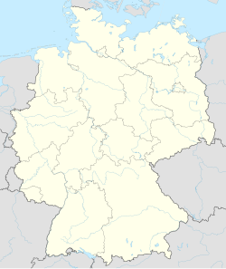
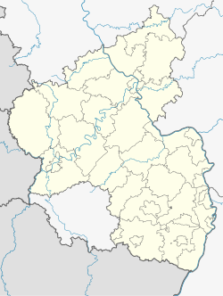
Oberotterbach is a municipality in Südliche Weinstraße district, in Rhineland-Palatinate, western Germany.
Geography
[edit]The village is located between the Palatine Forest biosphere reserve and the Rhine river.
The municipality of Oberotterbach also includes the settlements of Brendelsmühle and Heidenbrunnenhof.[3]
History
[edit]The village was first mentioned in 992 in a deed of grant from emperor Otto III to Selz Abbey located in the Alsace region.
Religion
[edit]In 2007, 55.6 percent of the population were Protestant and 25.4 percent were Roman Catholic. The rest were not registered to pay Church tax.[4]
Politics
[edit]Gemeinderat
[edit]The local council Gemeinderat in Oberotterbach consists of 16 members, who were elected on 7 June 2009 and work for the voluntary mayor as their chairman.
Coat of arms
[edit]The blazon of the coat of arms are: „Parteed and separated above, documented with the silver heart shield , within a red armoured and defeated blue lion, on top heraldic in black a red armoured and defeated gold lion. On top on the left it is silver and blue lozenged, located at the bottom in green is a silver silberner an angular wave bar aside from silver spheres“.
It was approved by the Bavarian imperial governor in 1938 and dates back to a seal from 1558.[5]
Culture and Sights
[edit]- Ruin of Guttenberg Castle located in the Mundat Forest; Staeffelsberg Tower (observation tower, 1887)
- Westwall-Hiking Trail – comprising a ten-kilometre-long hiking trail along blasted bunkers and war trenches established in June 2009.
References
[edit]- ^ Direktwahlen 2019, Landkreis Südliche Weinstraße, Landeswahlleiter Rheinland-Pfalz, accessed 10 August 2021.
- ^ "Bevölkerungsstand 2022, Kreise, Gemeinden, Verbandsgemeinden" (PDF) (in German). Statistisches Landesamt Rheinland-Pfalz. 2023.
- ^ Statistisches Landesamt Rheinland-Pfalz – Amtliches Verzeichnis der Gemeinden und Gemeindeteile Archived 2015-11-25 at the Wayback Machine, Seite 101 (PDF; 2,16 MB)
- ^ KommWis, Stand: 30. November 2007 Archived September 29, 2007, at the Wayback Machine
- ^ Karl Heinz Debus: Das große Wappenbuch der Pfalz. Neustadt an der Weinstraße 1988, ISBN 3-9801574-2-3


