Parauta
Appearance
Parauta | |
|---|---|
 | |
| Coordinates: 36°39′N 5°07′W / 36.650°N 5.117°W | |
| Sovereign state | |
| Autonomous community | |
| Province | |
| Area | |
• Total | 44 km2 (17 sq mi) |
| Elevation | 799 m (2,621 ft) |
| Population (2018)[1] | |
• Total | 253 |
| • Density | 5.8/km2 (15/sq mi) |
| Time zone | UTC+1 (CET) |
| • Summer (DST) | UTC+2 (CEST) |
| Website | www.parauta.es |
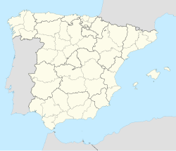
Parauta is a town and municipality in the province of Málaga, part of the autonomous community of Andalusia in southern Spain. It belongs to the comarca of Serranía de Ronda. It is situated in the west of the province in the Valle del Genal. The municipality is situated approximately 105 kilometres from the provincial capital of Málaga. It has a population of approximately 250 residents. The natives are called Parauteños.
This white-painted town is known for its hiking trails, especially "El Bosque Encantado" trail. It consists of a short walk where you can find wooden sculptures of gnomes, fairies and elves. This walk is perfect for families and offers beautiful views of Valle del Genal.
References
[edit]- ^ Municipal Register of Spain 2018. National Statistics Institute.
