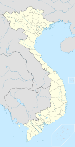
Phú Bình district
Appearance
You can help expand this article with text translated from the corresponding article in Vietnamese. (March 2009) Click [show] for important translation instructions.
|
Phú Bình District
Huyện Phú Bình | |
|---|---|
 Hương Sơn town center | |
 | |
| Coordinates: 21°29′36″N 105°57′42″E / 21.49333°N 105.96167°E | |
| Country | |
| Region | Northeast |
| Province | Thái Nguyên |
| Capital | Hương Sơn |
| Area | |
• District | 96 sq mi (249 km2) |
| Population (1 April, 2019) | |
• District | 156.804 |
| • Urban | 9.456 |
| Time zone | UTC+7 (UTC + 7) |
Phú Bình is a rural district of Thái Nguyên province in the Northeast region of Vietnam. As of 2003 the district had a population of 139,753.[1] The district covers an area of 249 km². The district capital lies at Hương Sơn.[1]
Administrative divisions
[edit]Hương Sơn, Bàn Đạt, Bảo Lý, Dương Thành, Đào Xá, Điềm Thụy, Đồng Liên, Hà Châu, Kha Sơn, Lương Phú, Nga My, Nhã Lộng, Tân Đức, Tân Hòa, Tân Khánh, Tân Kim, Tân Thành, Thanh Ninh, Thượng Đình, Úc Kỳ, Xuân Phương.
References
[edit]- ^ a b "Districts of Vietnam". Statoids. Retrieved March 23, 2009.

