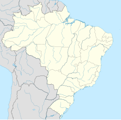
Porto Murtinho
Appearance
Porto Murtinho | |
|---|---|
 Location in Mato Grosso do Sul state | |
| Coordinates: 21°41′56″S 57°52′58″W / 21.69889°S 57.88278°W | |
| Country | Brazil |
| Region | Central-West |
| State | Mato Grosso do Sul |
| Area | |
| • Total | 17,735 km2 (6,848 sq mi) |
| Population (2020 [1]) | |
| • Total | 17,298 |
| • Density | 0.98/km2 (2.5/sq mi) |
| Time zone | UTC−4 (AMT) |
Porto Murtinho (Portuguese pronunciation: [ˈpoʁtu muʁˈtʃiɲu]) is a municipality located in the Brazilian state of Mato Grosso do Sul. Its population was 17,298 (2020) and its area is 17,735 km².
Climate
[edit]On 15 November 2023, a maximum temperature of 43.0 °C (109.4 °F) was registered in Porto Murtinho.[2]
Consular representation
[edit]Paraguay has a Consulate in Porto Murtinho.[3]
References
[edit]- ^ IBGE 2020
- ^ "86833: Porto Murtinho (Brazil)". ogimet.com. OGIMET. 15 November 2023. Retrieved 16 November 2023.
- ^ "Representaciones, Consulados del Paraguay, en el Brasil". Ministerio de Relaciones Exteriores (in Spanish). Retrieved 26 June 2022.


