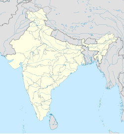
Ramagiri, Chittoor district
Appearance
Ramagiri | |
|---|---|
Village | |
 Dynamic map | |
| Coordinates: 13°24′20″N 79°46′00″E / 13.405426°N 79.76671°E | |
| Country | |
| State | Andhra Pradesh |
| District | Chittoor |
| Mandal | Pitchatur |
| Languages | |
| • Official | Telugu, |
| Time zone | UTC+5:30 (IST) |
Ramagiri is one of the villages in Pitchatur Mandal, Chittoor District, Andhra Pradesh State in India.[1] Ramagiri is located 76.85 km distance from its District Main City Chittoor.
References
[edit]- ^ [1] Ramagiri village shown in List of Habitations-Source-Department of Drinking Water and Sanitation, Government of India

