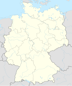
Roggentin
Appearance
Roggentin | |
|---|---|
Railway station in Roggentin | |
| Coordinates: 54°3′N 12°12′E / 54.050°N 12.200°E | |
| Country | Germany |
| State | Mecklenburg-Vorpommern |
| District | Rostock |
| Municipal assoc. | Carbäk |
| Government | |
| • Mayor | Erhard Bünger |
| Area | |
• Total | 9.58 km2 (3.70 sq mi) |
| Elevation | 34 m (112 ft) |
| Population (2023-12-31)[1] | |
• Total | 2,731 |
| • Density | 290/km2 (740/sq mi) |
| Time zone | UTC+01:00 (CET) |
| • Summer (DST) | UTC+02:00 (CEST) |
| Postal codes | 18184 |
| Dialling codes | 038204 |
| Vehicle registration | LRO |
| Website | www.amtcarbaek.de |
Roggentin is a municipality in the Rostock district, in Mecklenburg-Vorpommern, Germany.[2]
The letter processing center for the greater Rostock area is located in Roggentin.
References
[edit]- ^ "Bevölkerungsstand der Kreise, Ämter und Gemeinden 2023" (XLS) (in German). Statistisches Amt Mecklenburg-Vorpommern. 2023.
- ^ Municipality of Roggentin. Accessed August 3, 2012.


