Royston Head
Appearance
| Royston Head South Australia | |
|---|---|
 View from the Royston Head to Royston Island, with Wedge Island visible on the horizon. | |
| Coordinates | 35°11′25″S 136°50′45″E / 35.19028°S 136.84583°E |
| Elevation | 59 m (194 ft)[1] |
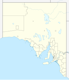
Royston Head is a headland in the Australian state of South Australia located on the west coast of the south-west tip of Yorke Peninsula. It forms the northern extremity of Pondalowie Bay and is connected to an island of the same name by a drying reef. It was reported as being named after Lord Royston, eldest son of Lord Hardwicke by Matthew Flinders. The head is within the Innes National Park while the waters adjoining its shores are located within the boundaries of the Southern Spencer Gulf Marine Park.[1][2][3][4]
References
[edit]- ^ a b Sailing Directions (Enroute), Pub. 175: North, West, and South Coasts of Australia (PDF). Sailing Directions. United States National Geospatial-Intelligence Agency. 2017. p. 197.
- ^ "Royston Head". Gazetteer of Australia online. Geoscience Australia, Australian Government.
- ^ Robinson, A. C.; Canty, P.; Mooney, T.; Rudduck, P. (1996). "South Australia's offshore islands" (PDF). Australian Heritage Commission. p. 283. Retrieved 13 December 2013.
- ^ "MARINE PARK 12, Southern Spencer Gulf" (PDF). Department of Environment, Water and Natural Resources. Retrieved 30 October 2014.
