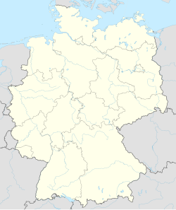
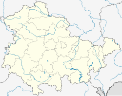
Saara, Altenburger Land
Appearance
Saara | |
|---|---|
| Coordinates: 50°56′1″N 12°25′19″E / 50.93361°N 12.42194°E | |
| Country | Germany |
| State | Thuringia |
| District | Altenburger Land |
| Municipality | Nobitz |
| Area | |
• Total | 42.73 km2 (16.50 sq mi) |
| Elevation | 189 m (620 ft) |
| Population (2011-12-31) | |
• Total | 2,942 |
| • Density | 69/km2 (180/sq mi) |
| Time zone | UTC+01:00 (CET) |
| • Summer (DST) | UTC+02:00 (CEST) |
| Postal codes | 04603 |
| Dialling codes | 03447, 034493 |
| Vehicle registration | ABG |
Saara is a village and a former municipality in the district of Altenburger Land, Thuringia, Germany.
History
[edit]The municipality of Saara was established on January 1, 1996, through the consolidation of the former municipalities Lehndorf (containing the village Saara), Mockern, Podelwitz, Taupadel, and Zehma.[1]
Since 31 December 2012, it is part of the municipality Nobitz.[2]
References
[edit]- ^ "Gebietsänderungen vom 01.01. bis 31.12.1996". Statistisches Bundesamt (in German). 23 November 2023. Retrieved 27 February 2024.
- ^ "Gebietsänderungen vom 01. Januar bis 31. Dezember 2012". Statistisches Bundesamt (in German). 23 November 2023. Retrieved 27 February 2024.


