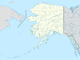
Skagul Island
Appearance
| Geography | |
|---|---|
| Location | Bering Sea |
| Coordinates | 51°35′51″N 178°35′17″E / 51.59750°N 178.58806°E |
| Archipelago | Delarof Islands |
| Length | 2.8 km (1.74 mi) |
| Width | 2.5 km (1.55 mi) |
| Administration | |
| State | |
Skagul Island (Aleut: Sxaĝulax[1]) is an island in the Delarof Islands subgroup of the Andreanof Islands in the Aleutian Islands chain of Alaska. The island measures 2.8 km × 2.5 km (1.7 mi × 1.6 mi). It is located just 1 km (0.62 mi) east of Ogliuga Island and 17 km (11 mi) southeast of Gareloi Island.[2]
References
[edit]- ^ Bergsland, K. (1994). Aleut Dictionary. Fairbanks: Alaska Native Language Center.
- ^ oceandots.com Ogliuga & Skagul
External links
[edit]
