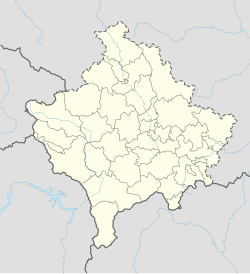
Tërnavicë
Appearance
Tërnavicë
Trnavica | |
|---|---|
Village | |
An interesting rock formation | |
| Coordinates: 43°05′11″N 21°03′53″E / 43.086389°N 21.064722°E | |
| Location | |
| District | Pristina |
| Municipality | Podujevë |
| Population (2011)[1] | |
| • Total | 27 |
| Time zone | UTC+1 (CET) |
| • Summer (DST) | UTC+2 (CEST) |
Tërnavicë, (Albanian: Tërnavicë/Tërnavica, Gurkrypas/Gurkrypasi; Serbian: Трнавица/Trnavica, Трновица/Trnovica) is a village near Podujevo, Kosovo.[2][3][4]
Places of interest
[edit]- There is a large free standing rock.
Events
[edit]References
[edit]- ^ 2011 Kosovo Census results
- ^ "NGA GEOnet Names Server". National Geospatial-Intelligence Agency. 2008-01-30. Archived from the original on 2003-10-08. Retrieved 2008-01-31.
- ^ Mojca, Maze (2008). "Ureditev gozdnega prostora ob Žovneškem jezeru" (PDF).
- ^ http://www.osce.org/publications/odihr/1999/11/17756_518_en.pdf[permanent dead link]
- ^ "The List of the Orthodox Shrines in Kosovo and Metohija - Part II". OSCE. Archived from the original on 22 February 2005.
