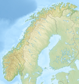
Ullerentjernet
Tools
Actions
General
Print/export
In other projects
Appearance
From Wikipedia, the free encyclopedia
Lake in Ringerike, Norway
| Ullerentjernet | |
|---|---|
| Location | Ringerike (Buskerud) |
| Coordinates | 60°7′17″N 10°4′9″E / 60.12139°N 10.06917°E / 60.12139; 10.06917 |
| Basin countries | Norway |
| Surface area | 11 ha (27 acres) |
| Shore length1 | 2.07 km (1.29 mi) |
| Surface elevation | 162 m (531 ft) |
| References | NVE |
| 1 Shore length is not a well-defined measure. | |
Ullerentjernet is a small lake located in the municipality of Ringerike in Buskerud, Norway. It is in the Skjærdalsvassdraget watershed formed by a number of smaller streams, rivers, ponds and marshes which drain into Tyrifjord. Ullerentjernet is situated in Holleia, a hilly terrain with a forest switching between spruce and pine. [1]
References
[edit]See also
[edit]
Hidden categories:
- Pages using gadget WikiMiniAtlas
- Articles with short description
- Short description matches Wikidata
- Coordinates on Wikidata
- Articles using infobox body of water without image
- Articles using infobox body of water without pushpin map alt
- Articles using infobox body of water without image bathymetry
- All stub articles
