Wallersheim
Appearance
Wallersheim | |
|---|---|
| Coordinates: 50°12′14″N 6°31′46″E / 50.20389°N 6.52944°E | |
| Country | Germany |
| State | Rhineland-Palatinate |
| District | Eifelkreis Bitburg-Prüm |
| Municipal assoc. | Prüm |
| Government | |
| • Mayor (2023–24) | Bruno Büsch[1] |
| Area | |
• Total | 14.51 km2 (5.60 sq mi) |
| Elevation | 520 m (1,710 ft) |
| Population (2022-12-31)[2] | |
• Total | 761 |
| • Density | 52/km2 (140/sq mi) |
| Time zone | UTC+01:00 (CET) |
| • Summer (DST) | UTC+02:00 (CEST) |
| Postal codes | 54597 |
| Dialling codes | 06558 |
| Vehicle registration | BIT |
| Website | www.wallersheim-eifel.de |
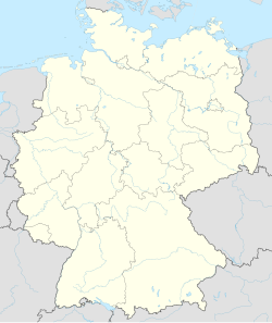
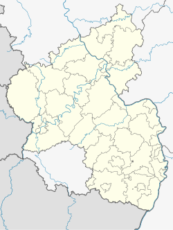
Wallersheim is a municipality in the district of Bitburg-Prüm, in Rhineland-Palatinate, western Germany. It is located 7 km (4.3 mi) east of Prüm in a wide valley and can be reached via the B410 from Fleringen and Büdesheim.
Wallersheim belonged to the Prüm Abbey until the end of the 18th century. In 1815/16 Wallersheim came under Prussian rule. [3] The parish church is dedicated to St. Nicholas.
References
[edit]- ^ Ergebnis der Wahl zum/zur Ortsbürgermeister/in in der Ortsgemeinde Wallersheim, Verbandsgemeinde Prüm, 5 Juni 2023, accessed 5 August 2023 (in German).
- ^ "Bevölkerungsstand 2022, Kreise, Gemeinden, Verbandsgemeinden" (PDF) (in German). Statistisches Landesamt Rheinland-Pfalz. 2023.
- ^ "Gemeinde Wallersheim". Gemeinde Wallersheim.


