Werda
Appearance
Werda | |
|---|---|
Location of Werda within Vogtlandkreis district  | |
| Coordinates: 50°26′15″N 12°18′20″E / 50.43750°N 12.30556°E | |
| Country | Germany |
| State | Saxony |
| District | Vogtlandkreis |
| Subdivisions | 2 |
| Government | |
| • Mayor (2023–30) | Carmen Reiher[1] |
| Area | |
| • Total | 13.56 km2 (5.24 sq mi) |
| Elevation | 620 m (2,030 ft) |
| Population (2022-12-31)[2] | |
| • Total | 1,474 |
| • Density | 110/km2 (280/sq mi) |
| Time zone | UTC+01:00 (CET) |
| • Summer (DST) | UTC+02:00 (CEST) |
| Postal codes | 08223 |
| Dialling codes | 037463 |
| Vehicle registration | V |
| Website | www.werda.de |
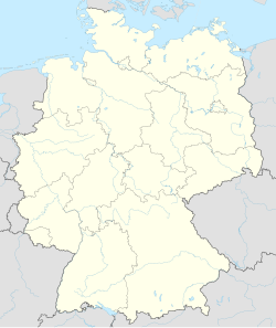
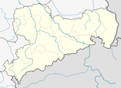
Werda is a municipality in the Vogtlandkreis district, in Saxony, Germany.
Since 1 January 1994 the former municipality Kottengrün is a part of Werda.
References
[edit]- ^ Gewählte Bürgermeisterinnen und Bürgermeister 2023 im Freistaat Sachsen, Freistaat Sachsen. Retrieved 10 July 2024.
- ^ "Einwohnerzahlen nach Gemeinden als Excel-Arbeitsmappe" (XLS) (in German). Statistisches Landesamt des Freistaates Sachsen. 2024.


