William Gunnell House (Fairfax, Virginia)
Appearance
This article needs additional citations for verification. (February 2020) |
City of Fairfax Historic District William Gunnel House | |
 Front view | |
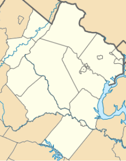
| Location | Jct. of VA 236 and VA 123, Fairfax, Virginia |
|---|---|
| Coordinates | 38°50′52.4″N 77°18′30.8″W / 38.847889°N 77.308556°W |
| Area | 24 acres (9.7 ha) |
| Architect | Multiple |
| Architectural style | Late 19th And 20th Century Revivals, Queen Anne |
| NRHP reference No. | 87001432[1] |
| Added to NRHP | August 27, 1987 |
Built in 1835, the William Gunnell House is a contributing property of the City of Fairfax Historic District. The building, at 10520 Main Street, was the location of Confederate John S. Mosby's raid on Union forces on March 9, 1863.[2]
The William Gunnell House has been listed on the National Register of Historic Places since 1987. The house is currently a private residence used for administrative offices of the adjacent Truro Anglican Church. The interior has not been significantly modified since its construction.
References
[edit]- ^ "National Register Information System". National Register of Historic Places. National Park Service. March 13, 2009.
- ^ "Mosby Heritage Area Tour". Richard Edling. September 24, 2007.
External links
[edit]Categories:
- Fairfax County, Virginia, in the American Civil War
- Houses in Fairfax, Virginia
- Houses completed in 1835
- Houses on the National Register of Historic Places in Virginia
- National Register of Historic Places in Fairfax County, Virginia
- Historic district contributing properties in Virginia
- Brick buildings and structures in Virginia
- Northern Virginia Registered Historic Place stubs
- Fairfax County, Virginia, geography stubs
- Virginia building and structure stubs


