District de St. Veit an der Glan
Apparence
| St. Veit an der Glan | |
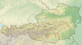
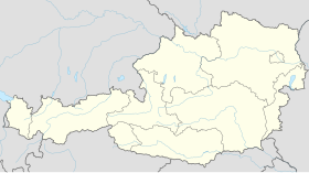
 Localisation du district de St. Veit an der Glan dans le Land autrichien de Carinthie. | |
| Administration | |
|---|---|
| Pays | |
| Land | |
| Centre administratif | Sankt Veit an der Glan |
| Immatriculation | SV |
| Démographie | |
| Population | 53 880 hab. () |
| Densité | 36 hab./km2 |
| Géographie | |
| Coordonnées | 46° 51′ 43″ nord, 14° 25′ 41″ est |
| Superficie | 149 367 ha = 1 493,67 km2 |
| Localisation | |
| modifier |
|
Le district de St. Veit an der Glan est une subdivision territoriale du land de Carinthie en Autriche.
Géographie
[modifier | modifier le code]Relief
[modifier | modifier le code]Lieux administratifs voisins
[modifier | modifier le code]Économie et infrastructures
[modifier | modifier le code]Communes
[modifier | modifier le code]Le district de St. Veit an der Glan est subdivisé en 20 communes :
Carte interactive des communes du district de St. Veit an der Glan
Notes et références
[modifier | modifier le code]- « Einwohnerzahl 1.1.2018 nach Gemeinden mit Status, Gebietsstand 1.1.2018 », Statistik Austria (en) (consulté le )


