Early Islands
Utsjånad
| Early Islands | |||
| øy | |||
| Land | |||
|---|---|---|---|
| Koordinatar | 73°40′S 101°40′W / 73.667°S 101.667°W | ||
 Early Islands 73°40′00″S 101°40′01″W / 73.6667°S 101.667°W | |||
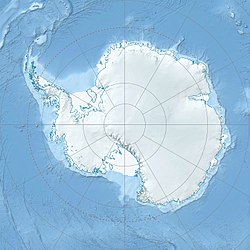
Early Islands er ei gruppe småøyar som ligg like vest for Cosgrove isbrem i sørausthjørnet av Ferrero Bay, Amundsenhavet. Dei vart kartlagde av US Geological Survey frå landmålingar og flyfoto tekne av U.S. Navy, 1960–66, og ho vart namngjeven av Advisory Committee on Antarctic Names etter Tommy Joe Early, ein biolog med Ellsworth Land Survey, 1968–69.[1]
Sjå òg
[endre | endre wikiteksten]Kjelder
[endre | endre wikiteksten]- ↑ «Early Islands». Geographic Names Information System. United States Geological Survey, United States Department of the Interior. Henta 17. oktober 2012.
![]() Denne artikkelen inneheld stoff som er offentleg eige frå United States Geological Survey-artikkelen «Early Islands» (innhald frå Geographic Names Information System).
Denne artikkelen inneheld stoff som er offentleg eige frå United States Geological Survey-artikkelen «Early Islands» (innhald frå Geographic Names Information System).
