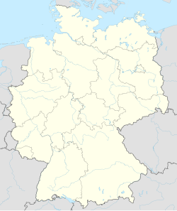
Castrop-Rauxel
Appearance
Castrop-Rauxel | |
|---|---|
 Zeche Erin, shaft 7 | |
| Coordinates: 51°33′N 7°19′E / 51.550°N 7.317°E | |
| Country | Germany |
| State | North Rhine-Westphalia |
| Admin. region | Münster |
| District | Recklinghausen |
| Subdivisions | 15 |
| Government | |
| • Mayor | Johannes Beisenherz (SPD) |
| Area | |
| • Total | 51.66 km2 (19.95 sq mi) |
| Elevation | 98 m (322 ft) |
| Population (2022-12-31)[1] | |
| • Total | 73,795 |
| • Density | 1,400/km2 (3,700/sq mi) |
| Time zone | UTC+01:00 (CET) |
| • Summer (DST) | UTC+02:00 (CEST) |
| Postal codes | 44575–44581 |
| Dialling codes | 02305, 02367 (Henrichenburg) |
| Vehicle registration | RE |
| Website | www |
Castrop-Rauxel is a town in the Ruhr area in the German state North Rhine-Westphalia. It has about 78,000 inhabitants.
References
[change | change source]Other websites
[change | change source]![]() Media related to Castrop-Rauxel at Wikimedia Commons
Media related to Castrop-Rauxel at Wikimedia Commons


