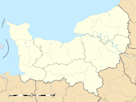
Saint-Pierre-la-Vieille
Appearance
Saint-Pierre-la-Vieille | |
|---|---|
| Coordinates: 48°55′10″N 0°34′30″W / 48.9194444444°N 0.575°W | |
| Country | France |
| Region | Normandy |
| Department | Calvados |
| Arrondissement | Vire |
| Canton | Condé-sur-Noireau |
| Intercommunality | Condé |
| Government | |
| • Mayor (2008–2014) | Roger Beaudouin |
| Area 1 | 12.43 km2 (4.80 sq mi) |
| Population (1999) | 347 |
| • Density | 28/km2 (72/sq mi) |
| Time zone | UTC+01:00 (CET) |
| • Summer (DST) | UTC+02:00 (CEST) |
| INSEE/Postal code | 14653 /14770 |
| Elevation | 117–252 m (384–827 ft) (avg. 250 m or 820 ft) |
| 1 French Land Register data, which excludes lakes, ponds, glaciers > 1 km2 (0.386 sq mi or 247 acres) and river estuaries. | |
Saint-Pierre-la-Vieille is a former commune. It is found in the region Basse-Normandie in the Calvados department in the northwest of France. On 1 January 2016, it was merged into the new commune of Condé-en-Normandie.[1]
Related pages
[change | change source]References
[change | change source]- ↑ Arrêté préfectoral 1 December 2015 (in French)


