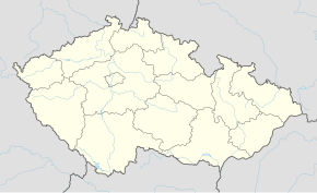
Humburky
Qiyofa
Humburky | |
|---|---|
| Qishloq | |
 | |
| 50°13′34″N 15°30′42″E / 50.22611°N 15.51167°E | |
| Mamlakat | Chexiya |
| Viloyat | Hradec Králové viloyati |
| Tuman | Hradec Králové tumani |
|
| |
Humburky — Chexiyaning Hradec Králové tumanidagi qishloq[1][2].
Manbalar
[tahrir | manbasini tahrirlash]- ↑ „Historický lexikon obcí České republiky 1869–2011 – Okres Hradec Králové“ (cs) 17–18. Czech Statistical Office (2015-yil 21-dekabr). 2023-yil 8-martda asl nusxadan arxivlangan. Qaraldi: 2024-yil 14-iyul.
- ↑ „Population Census 2021: Population by sex“. Public Database. Czech Statistical Office (2021-yil 27-mart).
